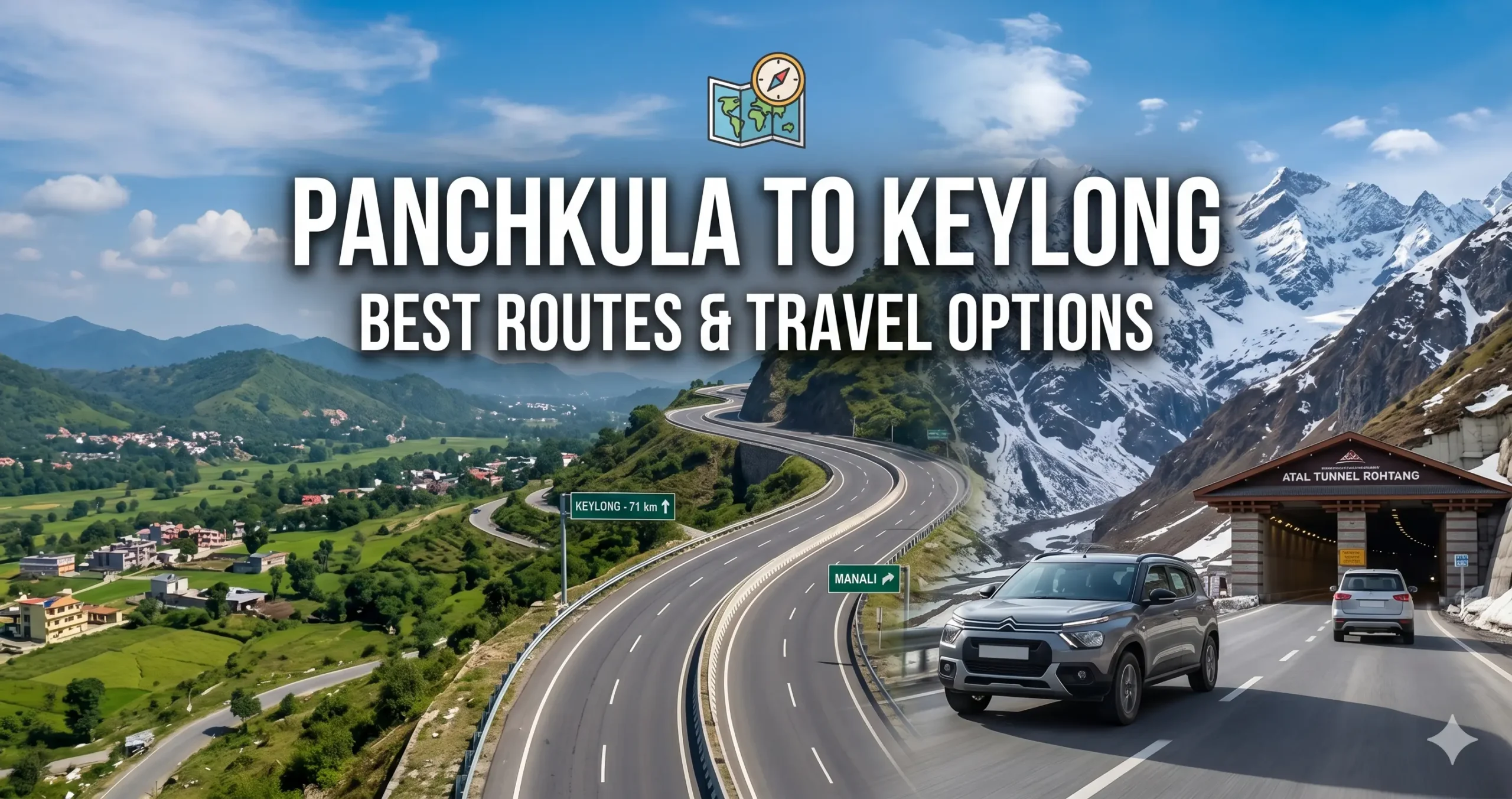
Traveling from Panchkula to Keylong takes you from the flat plains of Punjab all the way into the cold, dry mountains of Lahaul. Along the way you will see green valleys, fast-flowing rivers, and some of the highest roads in India.
- Distance: ~330–340 km
- Travel time: 9–11 hours by car, 11–13 hours by bus
- Best time: May to October, or year-round via the Atal Tunnel, weather permitting
Best Road Routes (Car/Taxi)
Route A: Via Mandi & Atal Tunnel (Fastest & Recommended)
Panchkula → Ropar → Kiratpur Sahib → Bilaspur → Sundernagar → Mandi → Kullu → Manali bypass → Atal Tunnel → Sissu → Keylong
- Distance: ~335 km
- Time: 9–11 hours
This road is a good choice because it avoids the steep, risky mountain pass, stays open almost all year, and mostly follows smooth highways with a modern tunnel near the end.
What the road is like
- Panchkula to Mandi: wide, well-built highway
- Mandi to Manali: pretty drive along the river
- Through the tunnel to Keylong: well-maintained mountain road
Route B: Via Rohtang Pass (The Classic Summer Detour)
Panchkula → Mandi → Kullu → Manali → Rohtang Pass (13,050 ft) → Gramphu → Khoksar → Sissu → Keylong
- Distance: ~350 km
- Time: 11–13 hours
Highlights
- Snow walls and epic views
- Raw Himalayan terrain
Important notes
- Open only May–October
- Permit required for private vehicles
- Challenging driving conditions
Side by Side: Which Drive Suits You
| Route | Main Stops | Distance | Time | Our Take |
|---|---|---|---|---|
| Atal Tunnel route | Mandi → Kullu → Tunnel → Sissu | ~335 km | 9–11 hrs | The safer, faster pick for most travelers |
| Rohtang Pass route | Manali → Rohtang → Khoksar → Sissu | ~350 km | 11–13 hrs | Beautiful, but needs a permit and confident driving |
Bus Travel Options
Option 1: Direct HRTC Bus
- From Chandigarh ISBT Sector 43
- Duration: 12–13 hours
- Cost: ₹750–₹900
Best for: Budget travelers
Option 2: The “Manali Switch” Strategy (Recommended)
- Step 1: Volvo from Chandigarh to Manali, about 8 hours
- Step 2: Bus or shared cab to Keylong via the Atal Tunnel, 2.5–3 hours
Why it works better: a comfortable overnight journey and considerably less fatigue.
Seats can be booked through the HRTC portal or platforms such as RedBus and AbhiBus.
Train Route (Partial Journey)
Nearest railhead: Kiratpur Sahib Railway Station.
- Train from Chandigarh to Kiratpur, about 1.5 hours
- Bus or taxi onward to Keylong, 8–9 hours
Verdict: Saves the initial driving stress, but the bulk of the journey is still by road.
Check Railway Seat Availability
Air Travel (Fastest but Expensive)
Nearest airport: Kullu–Manali Airport at Bhuntar, roughly 120 km from Keylong.
- Flight from Chandigarh to Bhuntar
- Taxi to Keylong via the Atal Tunnel, 3.5–4 hours
Downside: Weather delays and high cost.
Matching the Mode to Your Travel Style
| Mode | How | Time | Rough Cost (one way) | Good For |
|---|---|---|---|---|
| Own car/SUV | Via Mandi & Atal Tunnel | 9–11 hrs | ₹4,000 (fuel & tolls) | Travelers who enjoy hill driving |
| Bus + cab | Volvo to Manali, then local transport | 11–12 hrs | ₹1,400 total | Comfort seekers who want an overnight ride |
| Direct state bus | HRTC from Chandigarh | 12–13 hrs | ₹750–₹900 | Solo travelers on a budget |
| Private taxi | Direct hire from Panchkula | 9–11 hrs | ₹8,000–₹12,000 | Families wanting a door-to-door trip |
Monasteries, Rivers and Lakes Around Keylong
Keylong is surrounded by several attractions that showcase the cultural heritage and natural beauty of the Lahaul Valley.
- Shashur Monastery – A peaceful Buddhist monastery on a hillside, known for colorful wall paintings and wide mountain views.
- Kardang Monastery – Located across the Bhaga River, this is one of Lahaul’s most important monasteries, home to old manuscripts and statues.
- Bhaga River – Runs right past Keylong, great for photos and a quiet riverside walk.
- Jispa – About 22 km away, popular for riverside camping and as a stop to help your body adjust to the altitude before heading to Leh.
- Deepak Tal – A clear, high-altitude lake along the Manali–Leh highway that mirrors the mountains around it.
- Suraj Tal – One of the highest lakes in India, near Baralacha La, known for its dramatic, glacier-fed scenery.
Together, these destinations make Keylong an excellent base for exploring the landscapes of the Lahaul region.
Local Food to Try in Keylong
Meals here mix Himachali and Tibetan flavors. Look out for thukpa (noodle soup), momos, tingmo (steamed bread), and butter tea. You’ll also find rajma-chawal, vegetable curries, and other North Indian comfort food, plus warm soups and herbal teas that feel great in the cold. Several cafés also serve coffee, baked goods, pizza, and simple continental dishes.
Timing Your Trip Around the Seasons
| Season | Months | Weather | What to Expect |
|---|---|---|---|
| Spring | April–May | Snow starts melting | Fewer crowds, fresh scenery |
| Summer | June–August | 10°C–22°C | Best time for sightseeing and road trips |
| Autumn | September–October | Clear skies | Great for photos and mountain views |
| Winter | November–March | Heavy snow | Roads limited, but stunning scenery |
Packing for Cold-Desert Weather
Worth carrying:
- Warm woollen clothes and thermal layers
- A windproof jacket
- Waterproof trekking shoes
- Sunglasses and SPF 50+ sunscreen
- Lip balm and moisturizer
- Any personal medicines
- Power bank and offline maps
- A torch or headlamp
- Cash, since ATMs are rare here
- A reusable water bottle
Traveling Gently Through Lahaul’s Villages
Lahaul’s villages and monasteries sit in a fragile high-altitude environment, so a few habits matter:
- Be respectful at monasteries and around local traditions
- Don’t litter in valleys, rivers, or on mountain passes
- Carry reusable bottles and bags
- Stick to marked roads and trails
- Support local homestays, cafés, and craft shops
- Give wildlife and grazing animals plenty of space
- Drive gently through villages to keep dust and noise down
Altitude, Fuel, and Snow: What Catches Travelers Off Guard
Altitude: Keylong sits above 10,000 feet, so mild altitude sickness is possible. Drink plenty of water and avoid rushing your ascent.
Fuel: The last dependable pump before Keylong is at Tandi — always fill up there.
Weather: Winters bring heavy snow, and even the tunnel route can face short closures during storms.
So, Which Route Wins?
- Best route: Via the Atal Tunnel — fast, safe, and open most of the year
- Best way to travel: Volvo bus to Manali, then a local cab
- Most memorable route: Over Rohtang Pass, if it’s open when you travel
Reader Questions About the Keylong Route
1. What is the distance between Panchkula and Keylong?
The distance between Panchkula and Keylong is approximately 330 to 340 km, depending on the route taken.
2. What is the fastest route from Panchkula to Keylong?
The fastest and most reliable route is via Mandi, Kullu, and the Atal Tunnel, which avoids the steep Rohtang Pass climb.
3. How much time does it take to reach Keylong from Panchkula?
- By car: 9 to 11 hours
- By bus: 11 to 13 hours
Travel time may vary due to weather and road conditions in the Himalayas.
4. Is the Atal Tunnel route open throughout the year?
Yes, the Atal Tunnel route remains open most of the year, but heavy snowfall in winter can occasionally cause temporary closures.
5. Is Rohtang Pass a good option for traveling to Keylong?
Rohtang Pass is a scenic alternative but is only open from May to October and requires a permit for private vehicles.
6. Are there direct buses from Panchkula to Keylong?
There are no direct buses from Panchkula, but you can board HRTC buses from Chandigarh ISBT that go directly to Keylong.
7. What is the best way to travel from Panchkula to Keylong?
The best option is a Volvo bus to Manali plus a local taxi or shared cab via the Atal Tunnel, offering comfort and convenience.
8. Is Keylong safe for tourists?
Yes, Keylong is safe for tourists, but travelers should be cautious about altitude sickness and weather conditions.
9. What is the nearest airport to Keylong?
The nearest airport is Kullu–Manali Airport, located about 120 km away.
10. Is fuel easily available on the route?
Fuel stations are available up to Manali. The last major fuel pump before Keylong is at Tandi, so always refuel there.
Explore More Lahaul & Himalayan Travel Guides
- Panchkula to Manali
- Panchkula to Jispa
- Panchkula to Langza
- Panchkula to Karcham
- Panchkula to Nadaun
- Keylong to Chandigarh
Travel Disclaimer
Distances, travel times, fares, permit requirements, and road conditions in this guide are approximate and can change without notice due to weather, snowfall, landslides, or operator updates. Mountain routes in Lahaul are particularly unpredictable in winter. Travelers should verify current road status and transport availability with local authorities and operators before departure, and drive only if experienced with hill roads.