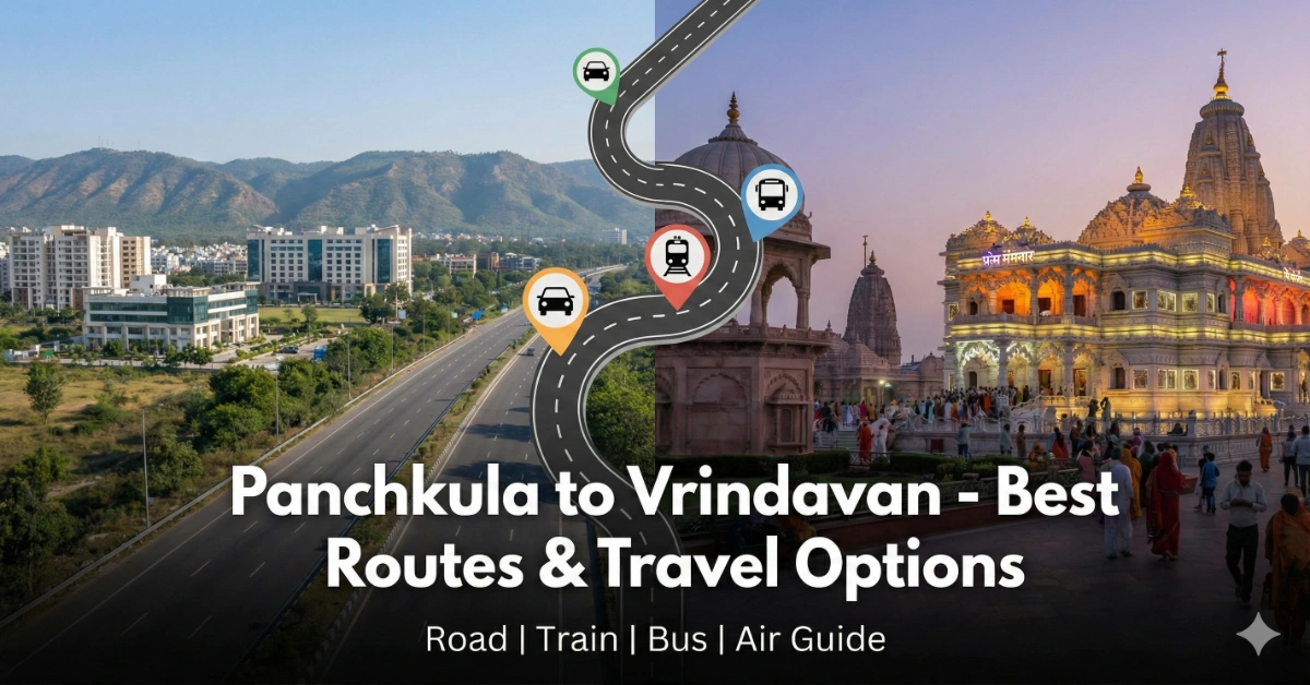
Route: Panchkula (Haryana) ➔ Vrindavan (Uttar Pradesh)
Distance: 350 – 380 km
Travel Time: 6 – 8 hours
Best Time to Visit: October to March (avoid peak summer months)
The sacred town of Vrindavan, the land of Lord Krishna, attracts devotees year-round from North India. For travelers from Panchkula, this spiritual journey has become significantly easier in recent years. What was once a tiring 9–10 hour drive through Delhi traffic is now a smooth 6-hour highway journey, thanks to the Eastern Peripheral Expressway (EPE).
Whether you’re planning a short Darshan trip to Banke Bihari Ji, visiting ISKCON, or staying for a longer spiritual retreat, this guide covers the best routes and all travel options.
🚗 By Road – The Best & Most Popular Option
Driving from Panchkula to Vrindavan is now the fastest and most convenient way to travel. Nearly 90% of the journey is on highways or expressways.
Route 1: Via Eastern Peripheral Expressway (Best Route)
Recommended Route:
Panchkula → Zirakpur → Ambala → Karnal → Panipat → Sonipat (Rai Cut) → Eastern Peripheral Expressway → Palwal → Hodal → Chhatikara Cut → Vrindavan
Why this route is best:
- Completely bypasses Delhi traffic
- Wide 6-lane expressway
- Consistent cruising speeds and minimal congestion
Road Condition: Excellent (Expressway quality)
Driving Time: 6 – 6.5 hours
Exit Point: Chhatikara Cut (well-marked for Vrindavan / Prem Mandir)
This route allows you to avoid Delhi entirely and rejoin NH19 near Palwal, making it the most stress-free option for families and senior citizens.
🚛 Route 2: The “Western” Alternative (Via KMP Expressway)
📍 Route Map
Panchkula ➔ Karnal ➔ Sonipat ➔ Kundli ➔ (Western Peripheral Expressway KMP) Expressway ➔ Manesar ➔ Palwal ➔ Vrindavan
Best for: Situations where the Eastern Peripheral Expressway (EPE) is congested due to traffic, accidents, or local blockades.
This route uses the Kundli–Manesar–Palwal (KMP) Expressway, forming the western arc of Delhi’s outer ring road system. It is a reliable fallback when the eastern side of NCR is gridlocked.
🔄 How This Route Works
-
At Kundli Interchange, instead of heading toward Ghaziabad (EPE), turn right toward Manesar/Gurgaon
-
This places you on the KMP Expressway, which runs parallel to the EPE on Delhi’s western side
-
Both EPE and KMP start near Sonipat and end at Palwal, effectively forming a complete ring around Delhi
⭐ Why Choose This Route?
-
Smart Traffic Avoidance: If Google Maps shows red congestion on the EPE, the KMP is usually free-flowing
-
Same Road Quality: 6-lane, access-controlled expressway similar to EPE
-
Strategic Flexibility: Ideal during political rallies, accidents, or peak NCR congestion
📌 Note: Expect slightly higher truck traffic compared to the EPE, especially at night.
🛣️ Route 3: The “Total Bypass” (Via Trans-Haryana Expressway / NH 152D)
📍 Route Map
Panchkula ➔ Ambala ➔ Ismailabad (Gangheri) ➔ NH 152D (Trans-Haryana Expressway) ➔ Exit near Rohtak/Jhajjar ➔ KMP Expressway ➔ Palwal ➔ Vrindavan
Best for: Experienced drivers who want to completely avoid the GT Road corridor (Ambala–Karnal–Panipat–Delhi).
This is the most strategic detour and often the fastest during periods of protests, highway construction, or massive jams on NH 44.
⭐ Why Choose This Route?
-
Zero City Traffic: Bypasses all major towns on the GT Road belt
-
Greenfield Expressway: NH 152D is wide, smooth, and lightly trafficked
-
Consistent Speed: Long stretches of uninterrupted driving
⚖️ Trade-Offs
-
Extra Distance: Adds approx. 30–40 km
-
Toll Costs: Higher than standard routes
-
Fuel Planning: Fewer amenities—refuel at Ambala before entering NH 152D
🧠 Pro Driving Tip
If traffic conditions are uncertain:
-
Check Google Maps at Sonipat
-
Red on EPE? → Take KMP
-
Red on GT Road? → Switch to NH 152D
📊 Road Route Comparison Table
| Feature | Route 1: Via Eastern Peripheral (EPE) | Route 2: Via Western Peripheral (KMP) | Route 3: Via Trans-Haryana (NH 152D) |
| Verdict | 🏆 Best Overall | 🔄 Best Backup | 🚀 Total Bypass |
| Path | Ambala ➔ Karnal ➔ Sonipat ➔ EPE ➔ Palwal ➔ Vrindavan | Ambala ➔ Karnal ➔ Sonipat ➔ KMP ➔ Palwal ➔ Vrindavan | Ambala ➔ NH 152D ➔ Rohtak ➔ KMP ➔ Palwal ➔ Vrindavan |
| Travel Time | 6 – 6.5 Hours | 6 – 6.5 Hours | 6.5 – 7 Hours |
| Distance | Standard (~360 KM) | Standard (~370 KM) | Longer (+30–40 KM) |
| Traffic Risk | Low (Bypasses Delhi) | Moderate (Trucks) | Very Low (Empty Road) |
| Road Quality | Excellent (6-Lane) | Excellent (6-Lane) | Excellent (Greenfield) |
| Toll Cost | Moderate | Moderate | High |
| Best For… | Families, Senior Citizens, Most Travelers | If EPE (East) is jammed | Avoiding GT Road Protests/Jams |
| Key Advantage | Fastest & smoothest ride | Reliable alternative to EPE | Constant speed, zero towns |
| Main Drawback | None | Higher truck volume at night | Fewer food stops/amenities |
🚂 By Train – Comfortable & Reliable
Departure Station: Chandigarh Junction (CDG)
Arrival Station: Mathura Junction (MTJ)
Popular Train Options
- 12926 Paschim Express
CDG 12:20 PM → MTJ 7:10 PM
Best all-round option - 12688 Madurai Superfast Express (Selected days)
CDG 8:05 AM → MTJ 1:30 PM
Fastest option - 14218 Unchahar Express
CDG 4:45 PM → MTJ 2:00 AM
Ideal for early morning temple visits
Book Your Train Trip Hassle-Free
Last-Mile Travel:
Auto or e-rickshaw from Mathura to Vrindavan (₹150 – ₹200)
🚌 By Bus – Budget-Friendly Option
Buses are suitable for budget travelers but require some patience.
Boarding Point: ISBT Sector 43, Chandigarh
Bus Types:
- Haryana Roadways / Volvo buses to Agra or Mathura
- Haryana Roadways Bus Booking
- Haryana Roadways Bus Time Table
- UP / Rajasthan Roadways buses passing via Vrindavan
Drop Point: Chhatikara Cut (Vrindavan Highway Exit)
Fare: ₹500 – ₹1,200
Last Mile: Shared auto/e-rickshaw (₹20 – ₹50)
Travel Time: 7 – 8 hours
✈️ By Air – Not Recommended
- Nearest Airports: Delhi (DEL) or Agra (AGR)
- Issue: No direct flights from Chandigarh to Agra
- Verdict: Flying via Delhi + road transfer takes longer than driving directly
📊 Comparison Table: Which Mode is Best?
| Feature | Private Car (Via EPE) | Train (Paschim Exp) | Bus (Volvo to Agra) |
| Cost (Approx) | ₹3,500 – ₹4,500 (Fuel+Toll) | ₹300 – ₹900 | ₹700 – ₹1,200 |
| Travel Time | 6 – 6.5 Hours | 5.5 – 7 Hours | 7 – 8 Hours |
| Comfort | High | High | Moderate |
| Flexibility | Leave anytime | Fixed Schedule | Fixed Schedule |
| Last Mile | Direct to Hotel | Requires Auto from Mathura | Requires Auto from Highway |
| Best For… | Families, Senior Citizens | Couples, Solo | Budget Travelers |
🛑 Important Travel Tips for Vrindavan
- Beware of Monkeys: Avoid carrying food openly and remove spectacles in crowded temple lanes.
- Use E-Rickshaws: Cars are often restricted near Banke Bihari and ISKCON during peak hours.
- Avoid Weekends: Saturdays and Sundays are extremely crowded.
- Chhatikara Exit: If traveling by bus, ensure you get down at Chhatikara Cut.
- FASTag: Keep sufficient balance for NH44 and EPE tolls.
✅ Final Verdict
For most travelers, driving via the Eastern Peripheral Expressway is the fastest, safest, and most peaceful way to reach Vrindavan from Panchkula. Trains are an excellent alternative for those who prefer a relaxed journey, while buses remain a budget-friendly option.
This improved connectivity has made Vrindavan an ideal weekend spiritual getaway from Panchkula.
📌 Frequently Asked Questions – Panchkula to Vrindavan Travel Guide
1. What is the distance from Panchkula to Vrindavan?
The distance from Panchkula to Vrindavan is approximately 350 to 380 km, depending on the route taken. The shortest and fastest route is via the Eastern Peripheral Expressway (EPE).
2. How long does it take to travel from Panchkula to Vrindavan?
The journey usually takes 6 to 8 hours. By car via the Eastern Peripheral Expressway, it takes around 6–6.5 hours, while buses and trains may take slightly longer.
3. What is the best route from Panchkula to Vrindavan by road?
The best and fastest road route is:
Panchkula → Ambala → Karnal → Sonipat → Eastern Peripheral Expressway → Palwal → Hodal → Chhatikara Cut → Vrindavan.
This route completely avoids Delhi traffic and offers smooth expressway driving.
4. Is it safe to drive from Panchkula to Vrindavan?
Yes, the route is safe and well-maintained, especially the NH44 and EPE stretches. The expressway has good lighting, patrol vehicles, and emergency services.
5. Are there direct trains from Panchkula to Vrindavan?
There are no direct trains to Vrindavan. Travelers must take a train from Chandigarh Junction to Mathura Junction, followed by a short road trip to Vrindavan.
6. What is the train travel time from Panchkula to Vrindavan?
Train travel time from Chandigarh to Mathura ranges between 5.5 to 7 hours, depending on the train. The final road transfer from Mathura to Vrindavan takes 20–30 minutes.
7. Is bus travel available from Panchkula to Vrindavan?
Yes, buses are available from ISBT Sector 43 Chandigarh. Most buses go toward Agra or Mathura and drop passengers at Chhatikara Cut, from where Vrindavan is easily accessible.
8. What is the bus fare from Panchkula to Vrindavan?
Bus fares range from ₹500 to ₹1,200, depending on whether you choose an ordinary bus or a Volvo/AC service.
9. Is air travel a good option from Panchkula to Vrindavan?
No, air travel is not recommended. There are no direct flights, and flying via Delhi or Agra takes more time and costs significantly more than road or rail travel.
10. What is the best time to visit Vrindavan from Panchkula?
The best time to visit Vrindavan is October to March, when the weather is pleasant. Avoid May and June due to extreme heat and weekends due to heavy crowds.
11. Which travel option is best for senior citizens?
For senior citizens, traveling by private car via the Eastern Peripheral Expressway or train to Mathura followed by a short auto ride is the most comfortable option.
12. What should travelers keep in mind while visiting Vrindavan?
Travelers should be cautious of monkeys, use e-rickshaws for temple visits, avoid carrying food openly, and plan visits during weekdays for a peaceful darshan.