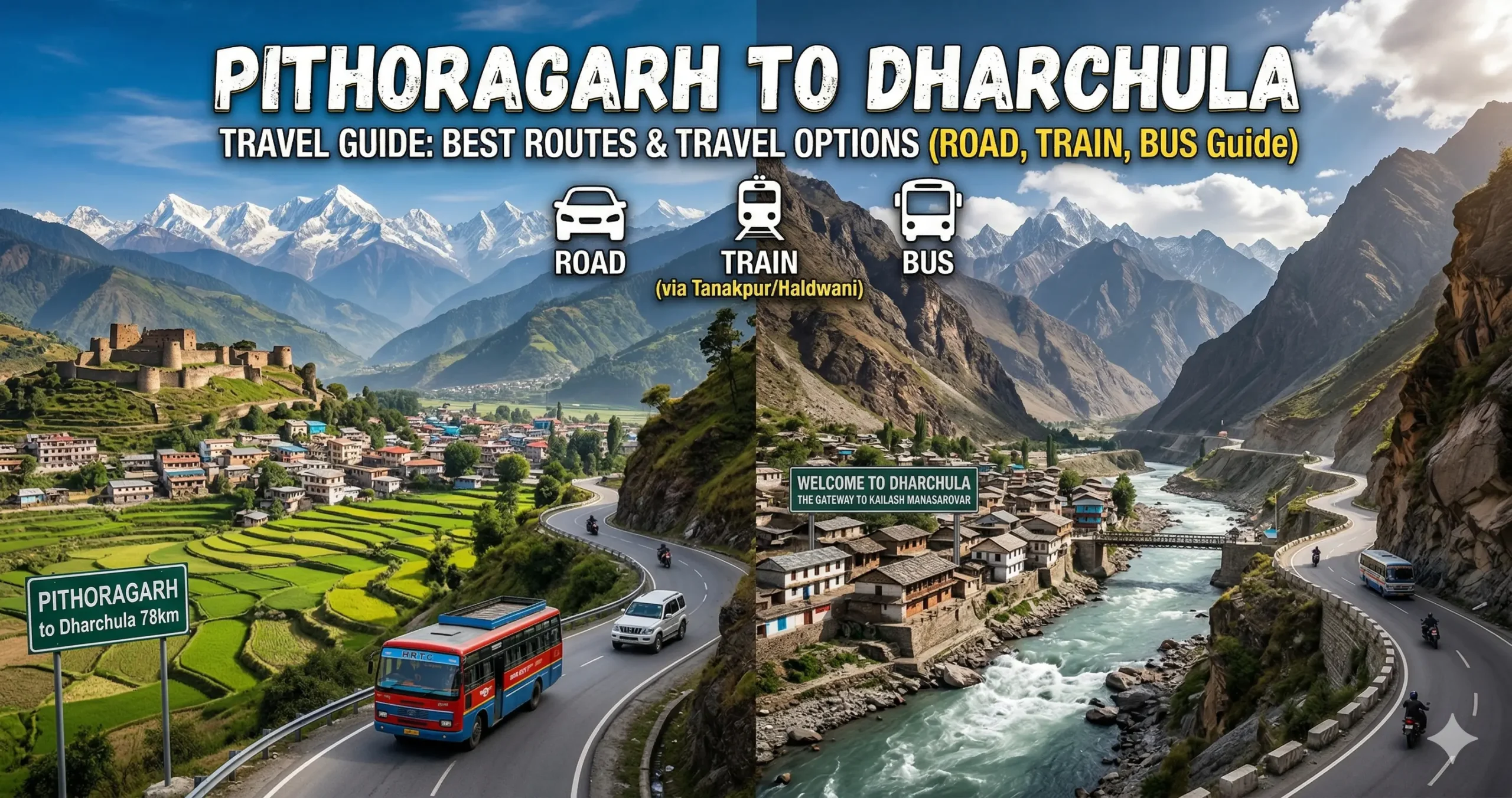
Traveling from Pithoragarh to Dharchula is a short yet incredibly scenic Himalayan journey through deep valleys, dense forests, and riverside border roads. Often referred to as the “Little Kashmir” of Uttarakhand, Pithoragarh serves as the gateway to this mesmerizing drive toward the Indo-Nepal border.
- Distance: ~90–105 km, depending on route
- Travel Time: 3–5 hours, depending on route
- Best Mode: Road (car or shared taxi)
This route runs alongside the powerful Kali River and offers a rare experience of traveling parallel to Nepal.
Driving There: Car and Taxi
Driving is the most efficient and popular way to reach Dharchula. The route descends from hill ridges into river valleys, eventually merging with the Indo-Nepal border road.
Via Askot and Jauljibi (Main Route)
Best for: Fastest, most reliable, and commonly used route
Route: Pithoragarh → Ogla → Askot → Jauljibi → Baluwakot → Dharchula
- Distance: ~90 km
- Time: 3–3.5 hours
Road highlights:
- Forest stretches near Askot (Musk Deer Sanctuary zone)
- Confluence of the Kali and Gori rivers at Jauljibi
- Scenic riverside drive along the Indo-Nepal border
Via Jhulaghat (Scenic Border Detour)
Best for: Explorers and photography lovers
Route: Pithoragarh → Jhulaghat → Jauljibi → Baluwakot → Dharchula
- Distance: ~105 km
- Time: 4–5 hours
Why choose this route:
- Visit the Indo-Nepal suspension bridge
- Early access to the Kali River valley
- A unique cross-border cultural feel
Road Routes Compared
| Route | Key Waypoints | Distance | Time | Verdict |
|---|---|---|---|---|
| Via Askot (Recommended) | Ogla → Askot → Jauljibi → Baluwakot | ~90 km | 3–3.5 hrs | The most direct, maintained, and heavily used highway |
| Via Jhulaghat (Scenic) | Jhulaghat → Jauljibi → Baluwakot | ~105 km | 4–5 hrs | Lets you visit the Indo-Nepal swing bridge en route to Dharchula |
Bus and Shared Taxi Options
Shared Taxis (Most Popular)
- Boarding point: Pithoragarh Taxi Stand
- Vehicle: shared Bolero or Maxx
- Time: ~3.5 hours
- Cost: ₹250–₹350
Fast, frequent, and preferred by locals.
Local Buses (Budget Option)
- Operator: Uttarakhand Transport Corporation
- Boarding: Pithoragarh Bus Stand
- Time: 4–4.5 hours
- Cost: ₹150–₹200
Slower, due to frequent village stops.
Train and Air Connectivity
By train: there is no railway station in Dharchula. The nearest railhead is Tanakpur, roughly 235–240 km away, so a train journey offers no real advantage over going straight from Pithoragarh by road.
By air: the nearest airport is Naini Saini, in Pithoragarh itself. There are no onward flights to Dharchula, so road travel is the only option for the final stretch.
Comparing All the Ways to Travel
| Travel Mode | Strategy | Travel Time | Est. Cost (One Way) | Best For |
|---|---|---|---|---|
| Personal Car / SUV | Drive via Askot & Jauljibi | 3–3.5 hours | Fuel: ₹800–₹1,000 | Families wanting to stop for photography along the Kali River |
| Private Taxi | Hire direct from Pithoragarh | 3–3.5 hours | ₹2,500–₹3,500 | A hassle-free, door-to-door drop to your Dharchula hotel |
| Shared Cab (Bolero) | Board at Pithoragarh Taxi Stand | 3.5 hours | ₹250–₹350 | Solo travelers wanting the fastest, most frequent public transport |
| Local Bus | UKRTC from Pithoragarh Stand | 4–4.5 hours | ₹150–₹200 | Budget travelers wanting the most economical option |
Dharchula Through the Seasons
- Summer (April–June): Best weather, clear views and comfortable temperatures.
- Monsoon (July–September): Heavy rains and landslide risk; check road conditions.
- Autumn (September–November): Fresh greenery and good visibility — another excellent window.
- Winter (December–February): Cold mornings and possible snow on higher stretches; the main road usually stays open.
Major Attractions Along the Route
- Askot — gateway to Askot Wildlife Sanctuary, good for a short nature stop
- Jauljibi — a confluence town where the Kali and Gori rivers meet, known for its seasonal trade fair
- Kali River — scenic riverside driving along the India–Nepal border
- Dharchula suspension bridge — connects India and Nepal; good for photos and a short walk
Onward From Dharchula
If you have extra time, consider:
- Adi Kailash — a sacred Himalayan pilgrimage destination known for its spiritual significance and mountain scenery
- Om Parvat — famous for the naturally occurring “Om” symbol visible on the mountain face
- Narayan Ashram — a peaceful spiritual retreat surrounded by forests and Himalayan views
- Chirkila Dam — a scenic spot along the Kali River
- Gunji Village — a picturesque Himalayan village that serves as a base for several high-altitude routes
Food, Fuel and Facilities
Fuel stations are available at Pithoragarh, Askot, and Dharchula. Fill up before leaving Pithoragarh, since stations become less frequent along the route.
For food, look for regional Kumaoni cuisine such as:
- Bhatt Ki Churkani
- Aloo Ke Gutke
- Chainsoo
- Mandua Roti
- Jhangora Kheer
- Kumaoni Raita
- Bal Mithai (available in larger Kumaon towns)
Mobile Network and Connectivity
Coverage is generally reliable in towns but can weaken in remote valley sections. Jio, BSNL, and Airtel usually perform best. Internet speeds may slow down in mountainous areas.
What This Border Drive Requires
- Government photo ID — needed for border areas
- Warm clothing and a rain jacket, depending on season
- Water, snacks, and basic medicines
- Mobile charger and power bank
- Torch and cash — ATMs are limited past Pithoragarh
- Start early and avoid driving after dark, since the border roads are narrow
Which Way Should You Go?
For most travelers, the Askot route is the one to take — it’s faster, better maintained, and the standard choice for shared taxis and buses alike. If you have the extra time, the Jhulaghat detour adds a visit to the Indo-Nepal suspension bridge and a different stretch of the Kali River valley. Either way, the drive itself is one of the highlights of reaching Dharchula.
Questions Travellers Ask
1. What is the distance between Pithoragarh and Dharchula?
About 90 km via the recommended Askot route, or roughly 105 km via the scenic Jhulaghat route.
2. How long does it take to travel from Pithoragarh to Dharchula?
Around 3 to 3.5 hours via the Askot route, or up to 5 hours via the scenic Jhulaghat route, depending on road and weather conditions.
3. What is the best route from Pithoragarh to Dharchula?
The most recommended route is Pithoragarh → Askot → Jauljibi → Baluwakot → Dharchula. It’s the fastest and best-maintained option.
4. Is the road from Pithoragarh to Dharchula safe?
Yes, generally, but it’s narrow in many sections, landslides can occur during monsoon, and night driving is best avoided.
5. Which is more scenic: the Askot route or the Jhulaghat route?
The Askot route is faster and standard. The Jhulaghat route is more scenic, with a stop at the Indo-Nepal suspension bridge.
6. Are shared taxis available from Pithoragarh to Dharchula?
Yes, shared taxis (Bolero or Maxx) are easily available from the Pithoragarh taxi stand and are the most popular travel option.
7. What is the cost of a shared taxi to Dharchula?
Approximately ₹250 to ₹350 per person.
8. Are buses available on this route?
Yes, Uttarakhand Transport Corporation and private buses operate daily services.
9. What is the bus travel time and cost?
- Time: 4 to 4.5 hours
- Cost: ₹150 to ₹200
10. Is there a train from Pithoragarh to Dharchula?
No, there is no train connectivity between these two towns. Travel is entirely by road.
11. What is the nearest railway station to Dharchula?
The nearest railway station is Tanakpur, roughly 235 to 240 km away.
12. Is there an airport near Dharchula?
The nearest airport is Naini Saini, in Pithoragarh, but it has limited and irregular flights and no onward service to Dharchula.
13. What is the best time to travel from Pithoragarh to Dharchula?
April to June, and September to October, are the best windows. Avoid the monsoon months due to landslide risk.
14. Can I travel from Pithoragarh to Dharchula in one day?
Yes, the journey is short enough to complete comfortably in half a day.
15. Do I need a permit to visit Dharchula?
No permit is required for Dharchula town itself. Permits are needed for areas beyond it, such as Adi Kailash.
16. Is mobile network available on this route?
Coverage is good in Pithoragarh and Dharchula, with weak or patchy signal in between.
17. What type of vehicle is best for this route?
An SUV is ideal for comfort, though a hatchback can manage with careful driving.
18. Can I visit Nepal from Dharchula?
Yes, you can cross into Nepal via the suspension bridge at Dharchula with a valid ID.
19. Are there food and fuel stops on the way?
Yes, small eateries and fuel stations are available near Askot and Jauljibi.
20. Is this route suitable for family travel?
Yes, it’s a short and scenic journey, well suited to families if planned during daylight hours.
Travel Information Disclaimer
This content is intended for informational purposes only. While every effort has been made to keep the details accurate, travel conditions, transport schedules, fares, and regulations may change unexpectedly. Readers are advised to check official sources and local updates before travelling. We are not liable for any errors, omissions, delays, losses, or issues resulting from the use of this information.