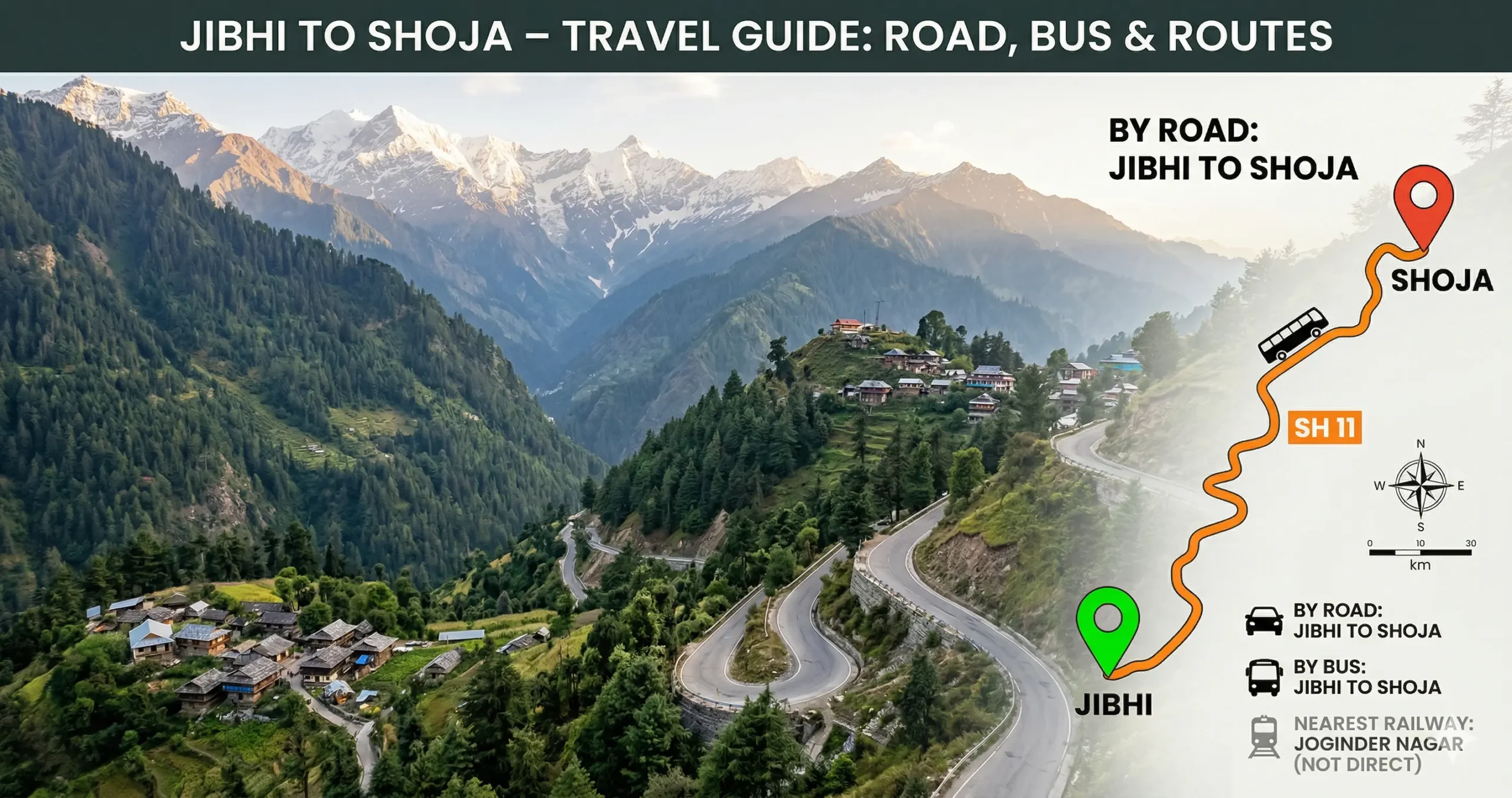
The trip from Jibhi to Shoja is short, but it packs in a lot. In just a few kilometers, you climb from the calm riverside setting of Jibhi into misty cedar forests near Jalori Pass. It’s one of the quickest big changes in scenery you’ll find in Himachal.
Here’s everything you need to know.
Overview and Quick Facts
- Distance: Approximately 7–8 km by road, 4–5 km via the forest trek.
- Typical road travel time: 30–45 minutes.
- Trek time: 2.5–3.5 hours (steep ascent).
- Approximate altitude at Shoja: ~2,700 m (about 8,800 ft).
- Road: Single-lane mountain highway (NH305), narrow with many hairpins.
- Best seasons: Spring (Mar–Apr) and summer (May–Jun) for clear weather; avoid monsoon for landslide risk; winter offers snow but roads can close.
Road Routes from Jibhi to Shoja
Due to the steep terrain, there is only one motorable road, but you do have a trekking alternative.
NH305 Highway Climb (Only Road Route)
Route: Jibhi → Ghiyagi → Shoja
- Distance: ~8 km
- Time: 30–45 minutes
- Road Type: Narrow, single-lane mountain highway
Road Conditions & Driving Tips
- Fully paved but very steep incline
- Continuous sharp hairpin bends
- Drive mostly in 1st or 2nd gear
- Be ready to reverse for passing vehicles
Best For: Cars, bikes, taxis heading to Shoja or Jalori Pass
Forest Trek (Alternative Route)
Route: Jibhi Woods → Shoja
- Distance: ~4–5 km (steep vertical climb)
- Time: 2.5–3.5 hours
Trek Highlights
- Dense cedar & pine forests
- Quiet, offbeat experience
- No vehicle access
Best For: Backpackers & adventure lovers
Route Comparison Table
| Route | Key Stops | Distance | Time | Best For |
|---|---|---|---|---|
| NH305 highway | Jibhi → Ghiyagi → Shoja | ~8 km | 30–45 mins | The only motorable option — steep but quick |
| Forest trek | Jibhi Woods → Shoja | ~4–5 km | 2.5–3.5 hrs | Scenic, but physically demanding |
Buses, Shared Cabs, and Taxis
Even without your own vehicle, getting to Shoja is easy.
Local Bus (HRTC)
- Board from Jibhi towards Jalori Pass/Ani
- Frequency: 3–4 buses daily
- Time: ~45 minutes
- Cost: ₹20–₹30
- HRTC Bus
Shared Taxi / Sumo
- Available throughout the day
- Just flag one heading uphill
- Time: ~30–45 minutes
- Cost: ₹50–₹100
The most reliable option.
Private Taxi
- Hire from Jibhi taxi stand
- Time: 30–45 minutes
- Cost: ₹500–₹800
Best for families & luggage.
Train & Flight Connectivity
- Nearest Airport: Kullu–Manali Airport
- Nearest Railway Station: Joginder Nagar Railway Station
- IRCTC Train
Honestly, neither is useful for this short stretch — road or trekking are really your only choices.
Travel Options Comparison Table
| Mode | Strategy | Time | Cost | Best For |
|---|---|---|---|---|
| Car/Bike | Drive via NH305 | 30–45 mins | ₹100 (fuel) | Skilled drivers |
| Private Taxi | Direct hire | 30–45 mins | ₹500–₹800 | Comfort & ease |
| Bus | Jibhi → Shoja | 45 mins | ₹20–₹30 | Budget travel |
| Shared Cab | Passing vehicles | 30–45 mins | ₹50–₹100 | Backpackers |
| Trek | Forest trail | 2.5–3.5 hrs | Free | Adventure seekers |
How the Climb Changes Through the Year
- March–April (spring): Pleasant weather and forests in bloom.
- May–June (summer): A great time for sightseeing.
- July–August (monsoon): Landslide risk on the mountain roads — go carefully.
- December–February (winter): Beautiful snow, but roads can close.
Where to Stay in Shoja and Nearby
Shoja offers a range of small homestays, forest-view cottages, modest resorts and budget backpacker options. Typical price ranges (seasonal):
- Budget homestays/hostels: ₹500–₹1,200 per night.
- Mid-range cottages/resorts: ₹1,500–₹4,000 per night.
- Higher-end mountain resorts: ₹4,000 and above per night.
Facilities are basic in most places: small cafes, local dhabas, limited grocery supplies and basic medical help. ATMs are primarily in Banjar; carry enough cash during your stay.
What to See Around Shoja
- Jalori Pass: Just 5–6 km beyond Shoja, known for wide views and short walks.
- Serolsar Lake: A scenic high-altitude lake, reached by a trek from Jalori or nearby trails.
- Raghupur Fort trek: A good day trek with nice views and some local history.
- Shoja Waterfall and riverside walks: Short, easy strolls right near the hamlet.
- Tirthan Valley: Worth exploring for its farms, trout streams, and village life.
Before You Make the Climb to Shoja
- Weather: Mountain weather can shift fast, so pack layers and something for rain.
- Driving: Not ideal for beginners at hill driving. Stick to low gears and avoid driving at night.
- Monsoon caution: July and August bring higher landslide risk — check local road updates first.
- Winter caution: Heavy snow (December–February) can close the road, so confirm conditions before heading out.
- Network: Mobile signal is patchy, so download offline maps and let someone know your plans.
- Fuel and supplies: Fill up and buy essentials in Banjar or Jibhi — there’s not much available further up.
- Altitude: Shoja sits higher up than Jibhi, so give yourself a little time to adjust if altitude affects you.
Ways to Plan Your Visit
- Half-day visit: Drive from Jibhi to Shoja, explore the hamlet and waterfall, then head back.
- Full-day trip: Jibhi → Shoja → Jalori Pass → Serolsar Lake (if time allows), returning by road.
- Adventure day: Trek from Jibhi Woods to Shoja, stay overnight, and take an early walk to nearby viewpoints the next morning.
- Family stay (2–3 days): Use Shoja as a base for relaxed walks, a Jalori Pass visit, and a short trek to Serolsar Lake.
Road or Trek: Making the Call
The trip from Jibhi to Shoja is short, but it’s one of the steepest and most scenic climbs in Himachal.
- Want convenience? → Take the NH305 drive
- Want adventure? → Try the forest trek
This quick stretch perfectly captures the raw beauty of the Banjar Valley — dense forests, sharp climbs, and peaceful mountain life.
Questions Travellers Ask
1. What is the distance between Jibhi and Shoja?
The distance between Jibhi and Shoja is approximately 7 to 8 kilometers.
2. How much time does it take to travel from Jibhi to Shoja?
- By Car/Taxi: 30 to 45 minutes
- By Bus/Shared Cab: Around 45 minutes
- By Trek: 2.5 to 3.5 hours
3. Is there more than one road route?
No — NH305 via Ghiyagi is the only motorable road. The forest trek is the only alternative.
4. Is the road from Jibhi to Shoja safe for driving?
Yes, but it requires careful driving skills: a very steep incline, a narrow single-lane road, and sharp hairpin bends. Avoid if you are not confident in hill driving.
5. Can beginners drive on this route?
Not recommended for beginners. The steep gradient and tight turns make it challenging, especially near Shoja.
6. Is there a direct bus from Jibhi to Shoja?
Yes, limited local buses are available. You can take any HRTC bus heading toward Jalori Pass or Ani. Frequency is 3–4 times daily, and the fare is ₹20–₹30.
7. Are shared taxis available from Jibhi to Shoja?
Yes, shared cabs (Sumo/Bolero) are easily available, costing ₹50–₹100 per person. This is the most convenient and frequent option.
8. What is the best way to travel from Jibhi to Shoja?
The best overall option is a shared taxi (budget and convenient). For comfort, a private taxi is best. For adventure, trekking is best.
9. Can I trek from Jibhi to Shoja?
Yes, there are forest trails connecting the two. It takes 2.5–3.5 hours and is moderate to difficult (steep climb) — a great option for nature lovers.
10. Is Shoja colder than Jibhi?
Yes, Shoja is at a higher altitude and significantly colder than Jibhi, especially in winter.
11. Does it snow in Shoja?
Yes, Shoja receives heavy snowfall in winter (Dec–Feb), unlike Jibhi which gets lighter snow.
12. Is the road open in winter?
Not always. Heavy snowfall can block the road between Jibhi and Shoja. Always confirm road conditions before traveling.
13. Are there petrol pumps between Jibhi and Shoja?
No petrol pumps on this route. Fill fuel at Banjar or Jibhi before heading up.
14. Is mobile network available on the route?
Network is limited and patchy, especially near Shoja. Carry offline maps if needed.
15. Can I visit Jalori Pass from Shoja?
Yes, Jalori Pass is just 5–6 km ahead of Shoja and is a must-visit for stunning views and trekking.
Travel Information Disclaimer
The information on this page is provided for general planning and informational purposes only. Road conditions, weather, transport schedules, fares, accommodation availability, trekking routes and local services can change without notice. Travelers should verify current conditions and official sources (local authorities, HRTC, accommodation providers, or emergency services) before departing. Use of any information on this site is at your own risk. The author and publisher do not accept responsibility for any loss, injury, delay, damage, or additional expenses arising from travel decisions made based on the content of this guide.
This site may include links to third-party websites (for example, HRTC and IRCTC). Links are provided for convenience and do not imply endorsement. We are not responsible for the content or accuracy of external sites.
If you have specific medical conditions, mobility limitations, or other concerns, consult a qualified professional before travelling. In emergencies, contact local emergency services immediately.